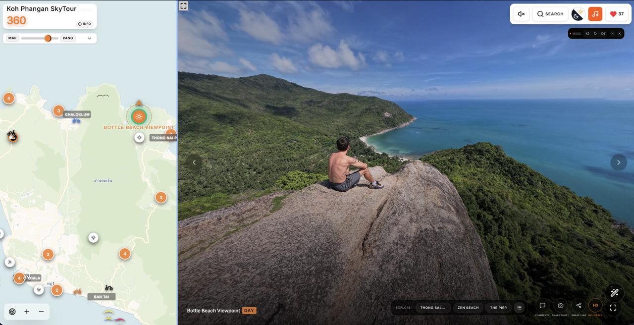
They say Koh Phangan changes people. But it also inspires them to create projects that make the island even better. Phangan 360 is one of those projects. It allows you to see Koh Phangan as it truly is — three-dimensional, alive, and authentic, just as it is seen by birds, drones, and the people who have fallen in love with this island.
Goodbye, Flat Maps! Discover Koh Phangan from a Whole New Perspective
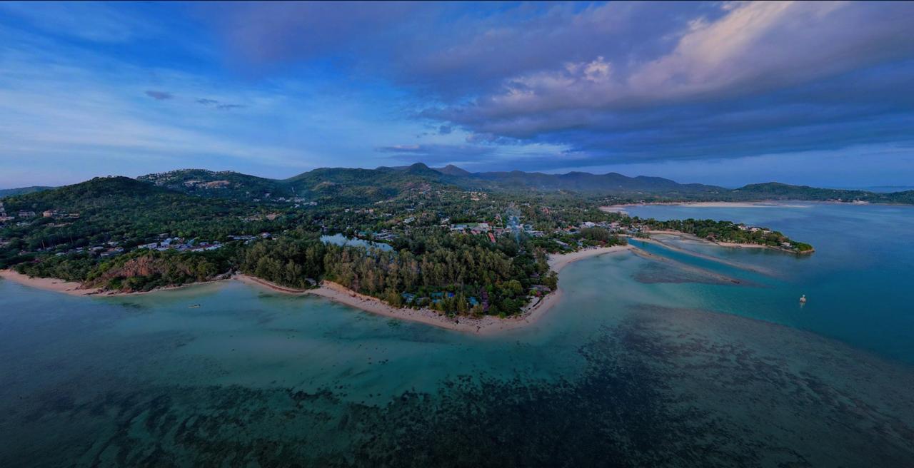
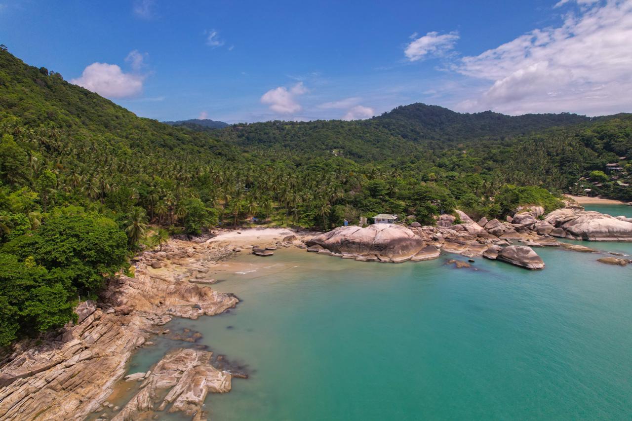
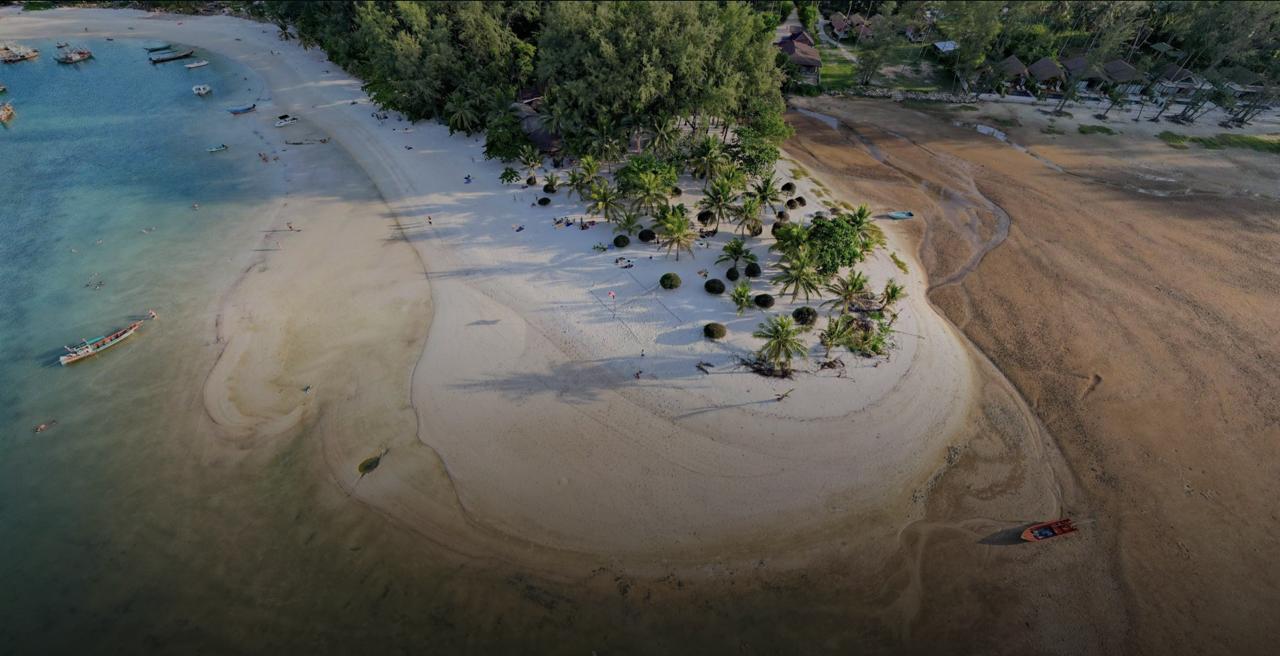
Traditional maps know roads. But they know almost nothing about the atmosphere of a place, steep hills, hidden beaches, water colors, sunsets, parties, and that special island vibe that makes people fall in love with Koh Phangan.
Have you ever tried reaching a remote beach like Bottle Beach using a standard navigation app? The map confidently draws a route as if you’re driving down a smooth city street. In reality, you may find yourself facing a crazy uphill climb, a steep descent, sand, jungle trails, and a rented scooter suddenly questioning its purpose in life.
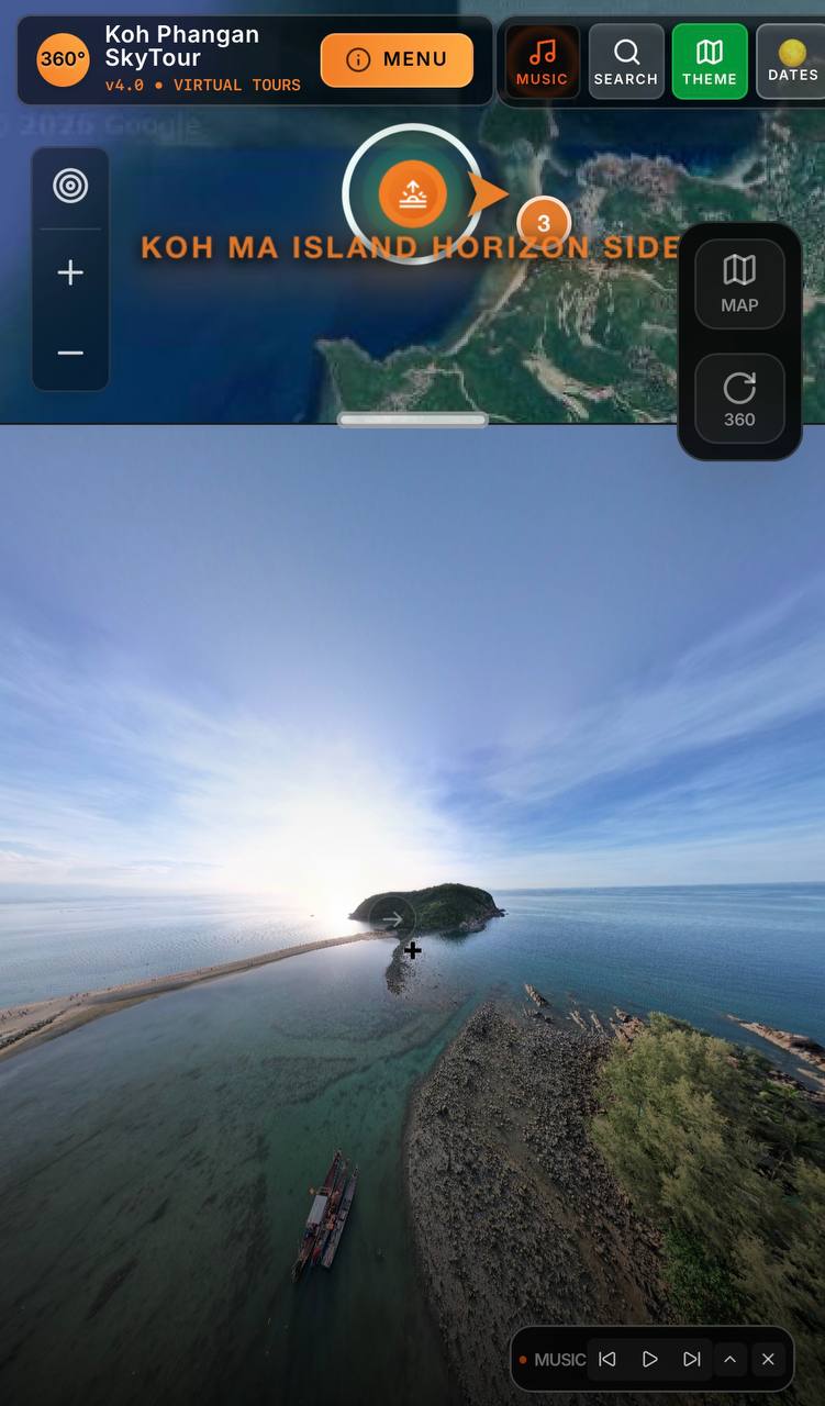
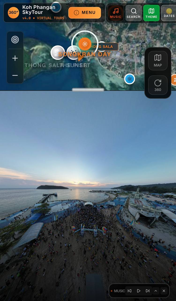
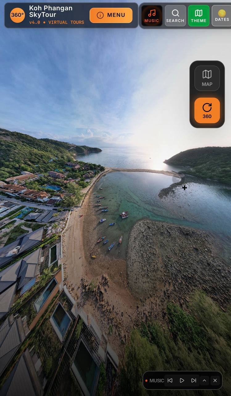
That’s exactly why a project appeared on Koh Phangan that deserves to be called much more than just a map — a living visual guide to the island called Phangan 360.